NorwayCounty number 46

Vestland

Vestland is a county in Norway with 43 municipalities. Vestland combines Bergen with fjord, island and rural communities from Sunnhordland to Nordfjord. Trade, seafood, energy, industry and education meet landscapes and cultural heritage with local identities extending far beyond the largest city.

Content updated:

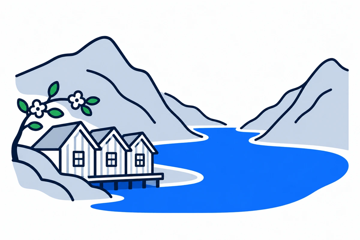
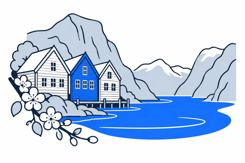
AI-generated illustration: Vestland (county), Norway
A fjord, steep mountains, wooden houses and a flowering fruit branch.Regional illustration
Residents
658,3422026 · SSB
Land area
31,964 km²2026 · SSB
Residents per km² of land
20.62026
Municipalities
439 Oct 2026

SSB · 2026

The county in numbers

See how many people live in the county, how many homes it has, and which municipalities have the most residents. Figures are from Statistics Norway (SSB).

PopulationLatest available count
659,46230 June 2026
Population change2025–2026
Not available
We can’t calculate the change from the available figures.
Number of homesHouses and flats
330,7152026

The county on the map

Municipalities in the countyVestland · 43 municipalities

Choose a municipality to open its profile. Small island municipalities are marked with a dot.

Municipalities in the county · VestlandChoose a municipality to open its profile. Small island municipalities are marked with a dot.UllensvangLusterSunnfjordVossEidfjordAurlandStrynLærdalSogndalKvinnheradGloppenHøyangerÅrdalVikBremangerKinnStadEtneUlvikVaksdalAlverKvamGulenMasfjordenBjørnafjordenBergenFjalerModalenAskvollSamnangerØygardenHyllestadOsterøyTysnesSveioBømloSolundStordFitjarAustevollAskøyAustrheimFedjeN
Vestland
Map data: © Kartverket · CC BY 4.0Generalised coastal map (2024) · About the map dataMunicipal structure checked:

Known for

Vestland

Bryggen in Bergen and the great fjords

AI-generated illustration: Vestland. Bryggen in Bergen and the great fjords.

A county of fjords, islands and distinct regions

Vestland includes Sunnhordland, Hardanger, the Bergen area, Sogn, Sunnfjord and Nordfjord. Fjords and mountains make map distance different from actual travel time. Bergen is the largest city, while other centres serve their own surrounding areas. Nærøyfjord belongs to UNESCO’s West Norwegian Fjords site. Vestland names this county; Vestlandet is the broader western region extending beyond its boundaries.

A trading city and older rural landscapes

Bergen’s trade connected the coast with Northern Norway and international markets; Bryggen documents this organisation. Gulatinget and older farming landscapes reveal other historical centres. Vestland was created on 1 January 2020 from Hordaland and Sogn og Fjordane, excluding Hornindal, which joined Volda in Møre og Romsdal. A new administrative name coexists with older local identities.

Trade along the wharves

The Hanseatic League established an office in Bergen in 1350 and became central to northern Norway’s stockfish trade. Bryggen’s narrow passages and wooden buildings preserve traces of that trading community.

Ocean, power and knowledge

Vestland’s economy includes seafood, maritime suppliers, energy, industry, tourism and services. Bergen has major knowledge and service communities, while coastal and fjord municipalities combine production and local jobs differently. Skills development must reach several parts of the county. Natural resources create opportunities, but qualified workers, transport and electricity affect local economic development and transition.

Urban rail and connections across fjords

Skyss provides information on buses, boats, ferries and Bergen Light Rail. Bergen has an extensive urban network, while many rural and island communities depend on particular sea or mountain connections. The Bergen Line links Bergen with Voss, the mountain crossing and Eastern Norway. Check connections and last departures: a short map line need not mean a short everyday journey.

Several campuses and a landscape archive

The University of Bergen and HVL campuses in Bergen, Stord, Sogndal and Førde distribute higher education across the county. Heritage offers other learning routes, from Bryggen’s trade to Gulatinget’s landscape. Vestland’s place-name archive preserves names and local knowledge from oral sources. History is recorded in language, routes and resource use as well as famous visitor destinations.

A major city and communities with different distances

The Bergen area and smaller municipalities have different housing markets, age profiles and workforce needs. Fjord and island communities may be close to a centre in a straight line but have demanding daily connections. Fjord visitors also generate seasonal use beyond registered population. Use municipality profiles for local trends, considering transport and services alongside population and area.

A new phase of industrial cooperation

Grøn region Vestland was extended for three years from January 2026. Cooperation with Innovasjon Norge supports industrial transition, with the goals of creating jobs, increasing exports and reducing emissions.

Places with a story

Landscapes, heritage sites and buildings offer a concrete view of the county’s history. Continue to the guides to these places and their municipalities.
  • Bergen

    Bryggen

    Bryggen is Bergen's historic harbour quarter, where timber gables facing Vågen lead into a network of narrow passages and courtyards. Its surviving layout preserves evidence of merchants' everyday lives and the city's long relationship with North Atlantic trade.
  • Askøy

    Herdla fort

    Herdla fort preserves coastal defence history at the northern end of Askøy. Its surviving torpedo battery gives visitors access to a once-secret military installation, where equipment, underground spaces and the shoreline explain how the fort operated during the Cold War.

  • Alver

    Lyngheisenteret

    Lyngheisenteret on Lygra explains a coastal heath landscape created through generations of farming. Sheep grazing, controlled heather burning and haymaking remain part of the place, linking an outdoor walk in Alver with the practical work needed to preserve cultural landscapes.

More attractions in the county

Vestland · 43 municipalities

All municipalities

Find local figures, history, education, housing and public services. Each municipality’s population figure refers to the stated period.

Residents · Q2 2026 · SSB

What does a county do?

Norway has three elected levels of government: the state, county authorities and municipalities. A county is both a geographical area and the territory of an elected regional authority.

The county authority

Responsibilities include upper secondary education, county roads, public transport, public dental services and regional development. These tasks connect municipalities.

The municipality

Local responsibilities include primary and lower secondary schools, kindergartens, health and care services and land-use planning. Kommuneportal explains these at municipal level.

The state and the County Governor

The County Governor represents the state regionally. This is a separate institution from the elected county authority. Oslo has both municipal and county responsibilities.

Questions and answers

What is Vestland known for?
Vestland combines Bergen with fjord, island and rural communities from Sunnhordland to Nordfjord. Trade, seafood, energy, industry and education meet landscapes and cultural heritage with local identities extending far beyond the largest city.
How many municipalities are there in Vestland?
Vestland has 43 municipalities in the dated municipal register used on this page. The complete list links to each municipality with local facts, statistics and services.
What is the difference between a county and a municipality?
A county is a regional division that usually contains several municipalities. The county authority is responsible for areas including upper secondary education, county roads, local public transport, public dental services, regional development and culture. Municipalities provide local services close to residents.
How has Vestland developed as a county?
Bergen’s trade connected the coast with Northern Norway and international markets; Bryggen documents this organisation. Gulatinget and older farming landscapes reveal other historical centres. Vestland was created on 1 January 2020 from Hordaland and Sogn og Fjordane, excluding Hornindal, which joined Volda in Møre og Romsdal. A new administrative name coexists with older local identities.
How should I read the statistics on this page?
Read the reference period and source alongside each figure. County figures calculated from municipalities require complete coverage and comparable periods. Municipalities and urban settlements are different geographic units, so the list of large municipalities is not a ranking of cities.

SamfunnPrep

Understand Norway. Keep learning.

Practice social studies with questions, clear explanations and mock exams.

Exam centres in Vestland

Find a place to take the social studies test, with addresses and contact details.

View exam centres
Sources and illustrations

Sources and methodology

Registry date: · Content updated:

A county total is shown only when every municipality has comparable figures from the same source and period. Land area excludes freshwater and sea. Density uses population and land area from the same year.

The same municipality membership is used; changes across a documented geographical break are withheld.

Statistical evidence

Sources and methodology

About the illustrations

AI-generated illustration: Vestland (county), Norway

An artistic interpretation, not a photograph or an exact record of the place.

Official code
46 · Vestland
Dimensions and format
1200 × 800 · WebP
Credit
SamfunnPrep · AI-generated illustration
Original image
Open full-size image

Creation and publication dates are not documented.

Downloading, republishing, adapting and commercial use require written permission. Image use and permission

About the place: Vestland · Original image