NorwayCounty number 42

Agder

Agder is a county in Norway with 25 municipalities. Agder combines southern coastal towns and islands with inland valleys and mountain communities. Kristiansand and Arendal are important centres, while maritime technology, process industries, education and Setesdal’s living traditions give the region several distinct identities.

Content updated:

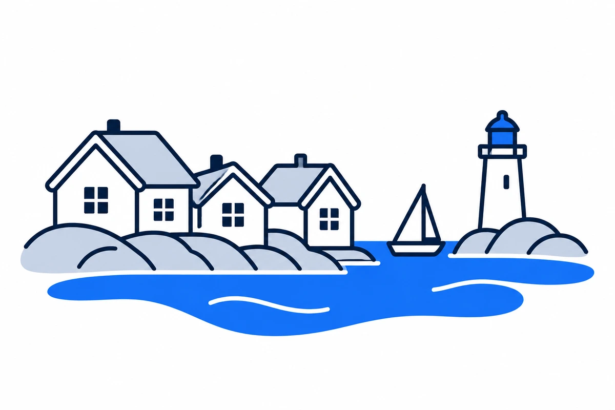
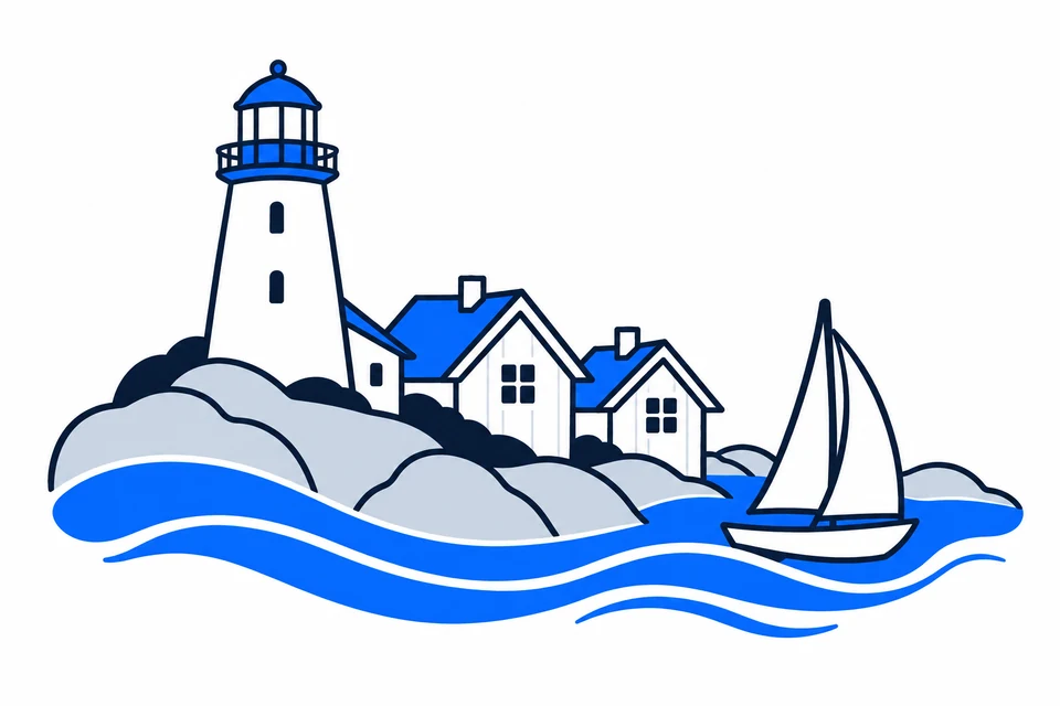
AI-generated illustration: Agder (county), Norway
White wooden houses, a sailboat and a lighthouse on the southern coast.Regional illustration
Residents
323,9302026 · SSB
Land area
14,981 km²2026 · SSB
Residents per km² of land
21.62026
Municipalities
259 Oct 2026

SSB · 2026

The county in numbers

See how many people live in the county, how many homes it has, and which municipalities have the most residents. Figures are from Statistics Norway (SSB).

PopulationLatest available count
324,60930 June 2026
Population change2025–2026
Not available
We can’t calculate the change from the available figures.
Number of homesHouses and flats
159,4322026

The county on the map

Municipalities in the countyAgder · 25 municipalities

Choose a municipality to open its profile. Small island municipalities are marked with a dot.

Municipalities in the county · AgderChoose a municipality to open its profile. Small island municipalities are marked with a dot.SirdalBykleByglandValleÅmliKvinesdalLindesnesÅseralLyngdalFrolandBirkenesKristiansandEvje og HornnesFlekkefjordHægebostadVenneslaVegårsheiGjerstadGrimstadArendalFarsundIvelandTvedestrandRisørLillesandN
Agder
Map data: © Kartverket · CC BY 4.0Generalised coastal map (2024) · About the map dataMunicipal structure checked:

Known for

Agder

White coastal towns and Lindesnes Lighthouse

AI-generated illustration: Agder. White coastal towns and Lindesnes Lighthouse.

The southern coast and inland valleys

Coastal towns from Risør and Arendal to Kristiansand and Flekkefjord have harbours, islands and sea-facing settlements. Inland are forests, Setesdal and mountain municipalities such as Bykle and Sirdal. Rivers and valleys connect coast and interior, but settlement and service distances vary greatly. Sørlandet is a cultural and geographical term; Agder is the administrative unit used by the municipality map.

Coastal trade, town planning and a united Agder

Trade and shipping shaped the southern coast before modern industry. Christian IV founded Kristiansand in 1641, and Kvadraturen’s straight streets still reveal its planned layout. Valley communities developed their own traditions and connections. Aust-Agder and Vest-Agder merged on 1 January 2020, joining earlier administrative areas without erasing differences between coastal towns and inland communities.

Music passed between generations

Setesdal’s traditional music, dance and stev singing joined UNESCO’s intangible-heritage list in 2019. Hardanger fiddle, jaw harp and song form a tradition that continues to evolve.

Maritime suppliers and process industries

Agder has strong maritime supply businesses and energy and process industries, alongside services, tourism and other local activities. Transition connects energy, skills and manufacturing, making cooperation between businesses, universities and the public sector important. Development projects must be distinguished from operating businesses. Municipal labour markets range from university cities and industrial towns to mountain and coastal communities.

Coastal connections and inland travel

AKT provides information on buses, school transport and local journeys in Agder. Coastal everyday journeys often cross neighbouring municipalities, while Setesdal and mountain areas face longer travel to larger centres. UiA campuses in Kristiansand and Grimstad generate student travel. Check complete housing-to-work or school connections, departures and transfers, especially between coast and interior.

University education and transmitted traditions

The University of Agder has campuses in Kristiansand and Grimstad, widening regional knowledge beyond coastal industries. In Setesdal, music, dance and stev are passed on through participation and intergenerational learning. The 2019 UNESCO inscription concerns this living practice rather than a group of buildings. The region combines institutional education with cultural knowledge used and developed in local communities.

Living conditions and different daily-life regions

The Agder regional plan links economic development with living conditions, participation and education. Challenges differ between larger urban areas, summer coastal destinations and inland municipalities with long distances. Cooperation regions reflect daily life across municipal boundaries. Compare local population trends, housing and services, distinguishing permanent settlement from seasonal visitor activity.

Living conditions and transition towards 2030

The revised Regionplan Agder 2030 was adopted on 22 October 2024. It links emission reduction with living conditions, education, mobility and culture, guiding regional planning for 2024–2027.


Places with a story

Landscapes, heritage sites and buildings offer a concrete view of the county’s history. Continue to the guides to these places and their municipalities.
  • Kristiansand

    Christiansholm festning

    Christiansholm festning stands beside Kristiansand's waterfront, where a fortified harbour island became a visible part of the modern city. Its walls, cannon positions and sea outlook connect an urban walk with the history of coastal defence.

  • Grimstad

    Ibsen-museet

    Ibsen-museet in Grimstad preserves the pharmacy where the young Henrik Ibsen worked and the room where he wrote his first play. The museum follows a writer's beginnings through the practical work, friendships and tensions of a small coastal town.

  • Lindesnes

    Lindesnes fyr

    Lindesnes fyr marks Norway's southernmost mainland point and the beginning of the country's lighthouse history. The exposed headland, navigational equipment and museum make it a place to consider how people have helped ships find their way along the coast.

More attractions in the county

Agder · 25 municipalities

All municipalities

Find local figures, history, education, housing and public services. Each municipality’s population figure refers to the stated period.

Residents · Q2 2026 · SSB

What does a county do?

Norway has three elected levels of government: the state, county authorities and municipalities. A county is both a geographical area and the territory of an elected regional authority.

The county authority

Responsibilities include upper secondary education, county roads, public transport, public dental services and regional development. These tasks connect municipalities.

The municipality

Local responsibilities include primary and lower secondary schools, kindergartens, health and care services and land-use planning. Kommuneportal explains these at municipal level.

The state and the County Governor

The County Governor represents the state regionally. This is a separate institution from the elected county authority. Oslo has both municipal and county responsibilities.

Questions and answers

What is Agder known for?
Agder combines southern coastal towns and islands with inland valleys and mountain communities. Kristiansand and Arendal are important centres, while maritime technology, process industries, education and Setesdal’s living traditions give the region several distinct identities.
How many municipalities are there in Agder?
Agder has 25 municipalities in the dated municipal register used on this page. The complete list links to each municipality with local facts, statistics and services.
What is the difference between a county and a municipality?
A county is a regional division that usually contains several municipalities. The county authority is responsible for areas including upper secondary education, county roads, local public transport, public dental services, regional development and culture. Municipalities provide local services close to residents.
How has Agder developed as a county?
Trade and shipping shaped the southern coast before modern industry. Christian IV founded Kristiansand in 1641, and Kvadraturen’s straight streets still reveal its planned layout. Valley communities developed their own traditions and connections. Aust-Agder and Vest-Agder merged on 1 January 2020, joining earlier administrative areas without erasing differences between coastal towns and inland communities.
How should I read the statistics on this page?
Read the reference period and source alongside each figure. County figures calculated from municipalities require complete coverage and comparable periods. Municipalities and urban settlements are different geographic units, so the list of large municipalities is not a ranking of cities.

SamfunnPrep

Understand Norway. Keep learning.

Practice social studies with questions, clear explanations and mock exams.

Exam centres in Agder

Find a place to take the social studies test, with addresses and contact details.

View exam centres
Sources and illustrations

Sources and methodology

Registry date: · Content updated:

A county total is shown only when every municipality has comparable figures from the same source and period. Land area excludes freshwater and sea. Density uses population and land area from the same year.

The same municipality membership is used; changes across a documented geographical break are withheld.

Statistical evidence

Sources and methodology

About the illustrations

AI-generated illustration: Agder (county), Norway

An artistic interpretation, not a photograph or an exact record of the place.

Official code
42 · Agder
Dimensions and format
1200 × 800 · WebP
Credit
SamfunnPrep · AI-generated illustration
Original image
Open full-size image

Creation and publication dates are not documented.

Downloading, republishing, adapting and commercial use require written permission. Image use and permission

About the place: Agder · Original image