NorwayCounty number 50

Trøndelag

Trøndelag is a county in Norway with 38 municipalities. Trøndelag connects Trondheim’s knowledge economy with farming districts, forests, aquaculture coasts and mountain areas. Nidaros, Røros and Southern Sámi communities reveal different historical layers, while technology and food production link the region with modern Norway.

Content updated:

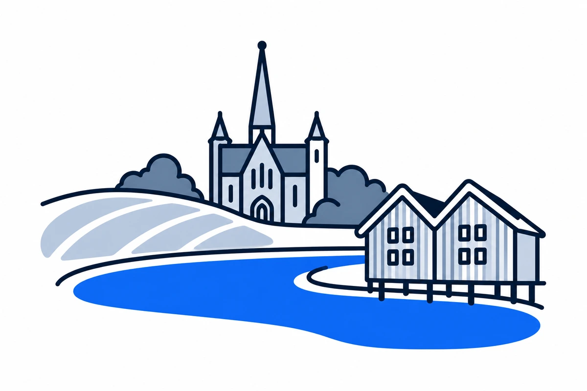
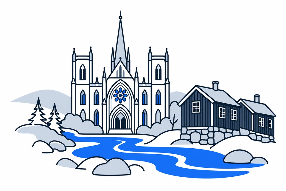
AI-generated illustration: Trøndelag (county), Norway
A cathedral silhouette and wooden houses beside a river.Regional illustration
Residents
489,1662026 · SSB
Land area
39,491 km²2026 · SSB
Residents per km² of land
12.42026
Municipalities
389 Oct 2026

SSB · 2026

The county in numbers

See how many people live in the county, how many homes it has, and which municipalities have the most residents. Figures are from Statistics Norway (SSB).

PopulationLatest available count
489,41830 June 2026
Population change2025–2026
Not available
We can’t calculate the change from the available figures.
Number of homesHouses and flats
252,6032026

The county on the map

Municipalities in the countyTrøndelag · 38 municipalities

Choose a municipality to open its profile. Small island municipalities are marked with a dot.

Municipalities in the county · TrøndelagChoose a municipality to open its profile. Small island municipalities are marked with a dot.LierneSnåsaOppdalSteinkjerNamsosRørosOrklandMidtre GauldalRøyrvikVerdalNamsskoganTydalÅfjordMeråkerNærøysundSelbuHoltålenGrongIndre FosenHeimRennebuStjørdalHøylandetOverhallaHitraMelhusLevangerRindalTrondheimØrlandFlatangerOsenInderøySkaunFrøyaMalvikLekaFrostaN
Trøndelag
Map data: © Kartverket · CC BY 4.0Generalised coastal map (2024) · About the map dataMunicipal structure checked:

Known for

Trøndelag

Nidaros Cathedral and Røros’s timber houses

AI-generated illustration: Trøndelag. Nidaros Cathedral and Røros’s timber houses.

The Trondheimsfjord, coast and interior

The Trondheimsfjord is surrounded by Trondheim, Stjørdal and Innherred’s farming districts. Coastal islands include seafood municipalities Hitra and Frøya; Namdalen lies to the north, with mountain communities and the Swedish border south and east. The county combines urban life, food production, ocean and forests. Municipality maps clarify differences between coastal connections and larger continuous inland areas.

Nidaros, mining communities and county unification

Medieval Nidaros was a religious and political centre, while copper mining created Røros’s distinctive mountain community. Nord-Trøndelag and Sør-Trøndelag merged on 1 January 2018, before the other 2020 county mergers. Rindal transferred from Møre og Romsdal in 2019, and Halsa joined Heim in Trøndelag in 2020. The history also includes Southern Sámi communities and livelihoods beyond the towns.

A community built around copper

Copper was discovered near Røros in 1644; mining ended in 1977. The wooden town, smelting remains and transport landscape show how work and daily life adapted to the mountain climate.

Food-producing region and technology centre

Trøndelag has farming and forestry value chains, with dairy production particularly important. Fishing and aquaculture shape parts of the coast. Research and education provide expertise for industry, marine suppliers and technology. Cooperation between resource-rich districts and knowledge institutions is central. Reindeer husbandry is also a livelihood and part of Southern Sámi culture, requiring connected grazing areas.

Urban commuting and district connections

AtB provides information about buses, boats and other public connections in Trøndelag. Trondheim-area travel differs from coastal and mountain needs. Islands, long distances and transfers make the full journey important when choosing housing or education. Local routes and demand-responsive services vary; use current municipal travel information rather than county averages to assess accessibility.

A knowledge city and several historical perspectives

NTNU’s largest study environment is in Trondheim, while Nord University has sites including Levanger, Steinkjer, Stjørdal and Namsos. Education therefore extends beyond the largest city. Nidaros and Røros offer different perspectives on religion, work and social organisation; Southern Sámi culture adds another regional continuity. These communities explain Trøndelag’s modern knowledge economy and deep historical roots.
Urban development, production and dispersed settlement

The Trondheim area has a large education and labour market, while farming, seafood and local services create different district settlement patterns. Population trends can therefore diverge within the county. Southern Sámi reindeer husbandry uses landscapes across municipal boundaries, showing that administrative maps do not represent every identity. Municipality profiles describe local development without equating the county with Trondheim alone.
Energy with less waste

The adopted regional energy-transition plan is being followed up through energy saving, better use of surplus heat and development of local energy areas. Implementation must balance more renewable power with nature protection.

Places with a story

Landscapes, heritage sites and buildings offer a concrete view of the county’s history. Continue to the guides to these places and their municipalities.

  • Steinkjer

    Egge museum

    Egge museum places Steinkjer’s history within a landscape of farmyards, burial mounds and former centres of power. Its open-air buildings and exhibitions connect the Viking-era chieftain’s seat with nineteenth-century farming and the town between the world wars.

  • Stjørdal

    Hegra festning

    Hegra festning is a fortified hillside above the Stjørdal valley. Built after Norway's separation from Sweden, its tunnels, trenches and gun positions became the setting for sustained Norwegian resistance during the invasion of 1940.

  • Trondheim

    Nidarosdomen

    Nidarosdomen is Trondheim’s richly decorated cathedral, built over the burial place associated with Saint Olav. Its famous west front tells a story of medieval ambition, catastrophic fire and a major modern reconstruction through architecture and sculpture.

More attractions in the county

Trøndelag · 38 municipalities

All municipalities

Find local figures, history, education, housing and public services. Each municipality’s population figure refers to the stated period.

Residents · Q2 2026 · SSB

What does a county do?

Norway has three elected levels of government: the state, county authorities and municipalities. A county is both a geographical area and the territory of an elected regional authority.

The county authority

Responsibilities include upper secondary education, county roads, public transport, public dental services and regional development. These tasks connect municipalities.

The municipality

Local responsibilities include primary and lower secondary schools, kindergartens, health and care services and land-use planning. Kommuneportal explains these at municipal level.

The state and the County Governor

The County Governor represents the state regionally. This is a separate institution from the elected county authority. Oslo has both municipal and county responsibilities.

Questions and answers

What is Trøndelag known for?
Trøndelag connects Trondheim’s knowledge economy with farming districts, forests, aquaculture coasts and mountain areas. Nidaros, Røros and Southern Sámi communities reveal different historical layers, while technology and food production link the region with modern Norway.
How many municipalities are there in Trøndelag?
Trøndelag has 38 municipalities in the dated municipal register used on this page. The complete list links to each municipality with local facts, statistics and services.
What is the difference between a county and a municipality?
A county is a regional division that usually contains several municipalities. The county authority is responsible for areas including upper secondary education, county roads, local public transport, public dental services, regional development and culture. Municipalities provide local services close to residents.
How has Trøndelag developed as a county?
Medieval Nidaros was a religious and political centre, while copper mining created Røros’s distinctive mountain community. Nord-Trøndelag and Sør-Trøndelag merged on 1 January 2018, before the other 2020 county mergers. Rindal transferred from Møre og Romsdal in 2019, and Halsa joined Heim in Trøndelag in 2020. The history also includes Southern Sámi communities and livelihoods beyond the towns.
How should I read the statistics on this page?
Read the reference period and source alongside each figure. County figures calculated from municipalities require complete coverage and comparable periods. Municipalities and urban settlements are different geographic units, so the list of large municipalities is not a ranking of cities.

SamfunnPrep

Understand Norway. Keep learning.

Practice social studies with questions, clear explanations and mock exams.

Exam centres in Trøndelag

Find a place to take the social studies test, with addresses and contact details.

View exam centres
Sources and illustrations

Sources and methodology

Registry date: · Content updated:

A county total is shown only when every municipality has comparable figures from the same source and period. Land area excludes freshwater and sea. Density uses population and land area from the same year.

The same municipality membership is used; changes across a documented geographical break are withheld.

Statistical evidence

Sources and methodology

About the illustrations

AI-generated illustration: Trøndelag (county), Norway

An artistic interpretation, not a photograph or an exact record of the place.

Official code
50 · Trøndelag
Dimensions and format
1200 × 800 · WebP
Credit
SamfunnPrep · AI-generated illustration
Original image
Open full-size image

Creation and publication dates are not documented.

Downloading, republishing, adapting and commercial use require written permission. Image use and permission
About the place: Trøndelag · Original image