NorwayCounty number 15

Møre og Romsdal

Møre og Romsdal is a county in Norway with 27 municipalities. Møre og Romsdal brings together Sunnmøre, Romsdal and Nordmøre between ocean, fjords and mountains. Ålesund, Molde and Kristiansund are important centres in a county known for maritime industries, seafood, furniture and distinctive cultural landscapes.

Content updated:

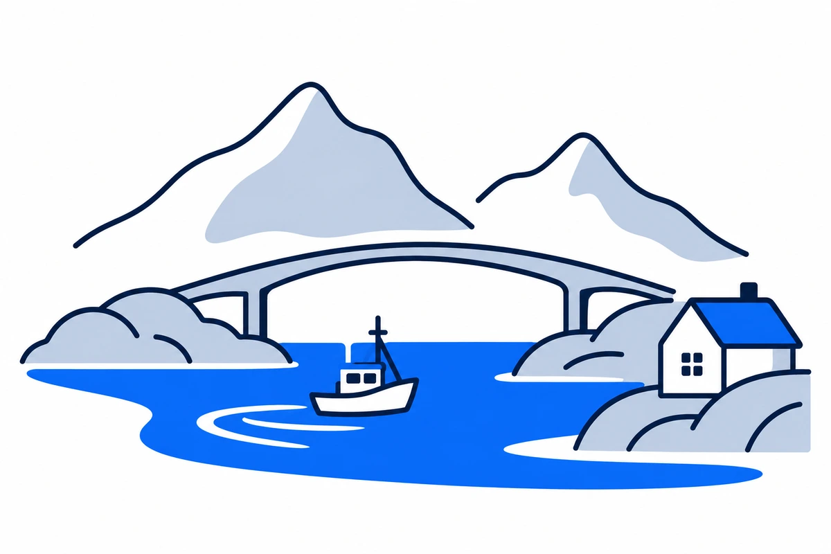
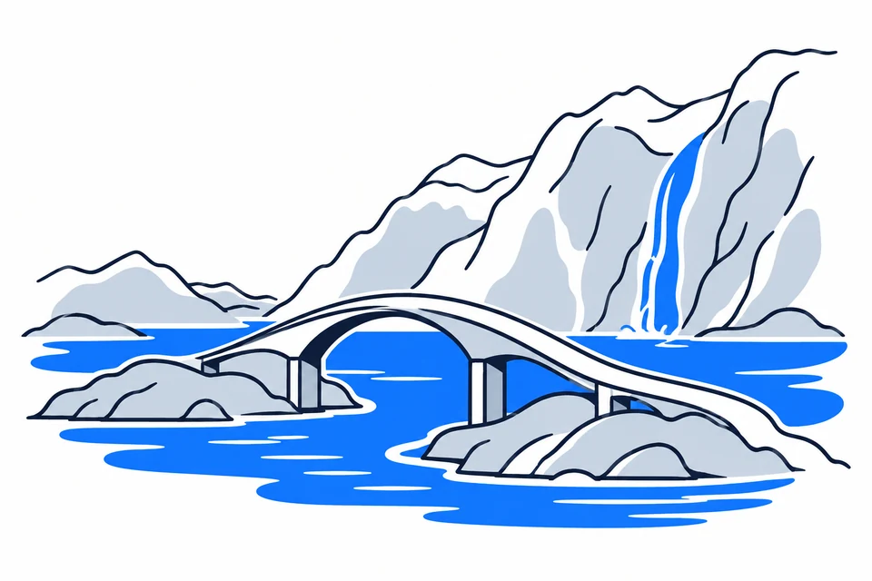
AI-generated illustration: Møre og Romsdal (county), Norway
A coastal bridge, fishing boat and mountains around the sea.Regional illustration
Residents
273,1692026 · SSB
Land area
13,839 km²2026 · SSB
Residents per km² of land
19.72026
Municipalities
279 Oct 2026

SSB · 2026

The county in numbers

See how many people live in the county, how many homes it has, and which municipalities have the most residents. Figures are from Statistics Norway (SSB).

PopulationLatest available count
273,17330 June 2026
Population change2025–2026
Not available
We can’t calculate the change from the available figures.
Number of homesHouses and flats
138,5872026

Municipalities with the most residents

Ranked by municipal population, rather than the size of cities or urban settlements. A municipality may contain several settlements and extensive rural areas.

  1. ÅlesundResidents: 59,663 · 21.8 % of the county’s residents
  2. MoldeResidents: 33,291 · 12.2 % of the county’s residents
  3. KristiansundResidents: 24,479 · 9 % of the county’s residents
  4. HustadvikaResidents: 13,538 · 5 % of the county’s residents
  5. ØrstaResidents: 11,068 · 4.1 % of the county’s residents

2026 · SSB

The county on the map

Municipalities in the countyMøre og Romsdal · 27 municipalities

Choose a municipality to open its profile. Small island municipalities are marked with a dot.

Municipalities in the county · Møre og RomsdalChoose a municipality to open its profile. Small island municipalities are marked with a dot.SunndalMoldeRaumaSurnadalFjordVoldaStrandaØrstaAureHustadvikaVestnesVanylvenGjemnesÅlesundTingvollSykkylvenHaramSmølaAverøyHerøyUlsteinSandeKristiansundHareidAukraSulaGiskeN
Møre og Romsdal
Map data: © Kartverket · CC BY 4.0Generalised coastal map (2024) · About the map dataMunicipal structure checked:

Known for

Møre og Romsdal

The Atlantic Road and the Geirangerfjord

AI-generated illustration: Møre og Romsdal. The Atlantic Road and the Geirangerfjord.

Three regions between fjord and ocean

Southern Sunnmøre, central Romsdal and northern Nordmøre have different landscapes and local identities. Ålesund, Molde and Kristiansund serve as regional centres. Fjords and mountains divide settlements, with islands along the outer coast. Geirangerfjord belongs to UNESCO’s West Norwegian Fjords site. Nature provides livelihoods and tourism opportunities but also transport challenges, so map distance alone says little about how the county connects.

Coastal towns and changing boundaries

Fishing, shipping and industrial development shaped coastal communities. Ålesund’s reconstruction after the 1904 fire created its distinctive Art Nouveau centre. The county continued in 2020, but boundaries changed: Rindal joined Trøndelag in 2019 and Halsa in 2020, while Hornindal became part of Volda. Haram became a separate municipality again in 2024. Historical statistics therefore require attention to the boundaries represented by each figure.

Ocean industries and furniture

The county’s industrial mapping covers maritime and seafood industries, oil and gas, process industries and furniture. This breadth connects coastal expertise with manufacturing communities.

From local workshops to global markets

Maritime and marine industries, process manufacturing and furniture production are important county industries. Ship design, yards and suppliers build on long coastal experience, while exports connect local jobs to markets far beyond Norway. Industrial-transition work links skills, power and cooperation. Industries have different local weight: Ulstein, Sykkylven and Sunndal provide perspectives distinct from the largest cities.

Ferries are part of everyday transport

FRAM provides public-transport information in Møre og Romsdal. Buses, ferries and express boats link cities, islands and fjord communities, while the Rauma Line provides a rail connection from Åndalsnes. Crossing a fjord may matter as much as road distance for school, work or services. The county plan prioritises safe land and sea transport. Check connections and current disruptions for journeys involving several transport modes.

Technology and historic townscapes

NTNU in Ålesund connects higher education with a regional technology community. The town’s Art Nouveau architecture makes its reconstruction after 1904 visible in the streets, while Geirangerfjord shows the international significance of natural heritage. Culture and skills also thrive beyond urban centres, in manufacturing communities and voluntary groups. Combining campuses, local museums and municipality profiles helps explain connections between work, landscape and history.

Volda University College has strong teacher education, humanities and media disciplines, providing a different educational focus from Ålesund’s technology community. Language, teaching and media production connect the region with public services, culture and knowledge work. Volda shows how higher education can also play an important role in a smaller community.

Regional identity and access to services

Sunnmøre, Romsdal and Nordmøre remain useful names for navigating the county. Industries, dialects, transport and distance to regional centres shape everyday life differently. Small municipalities may host strong export businesses without being large population centres. Municipality profiles let you compare population, housing and education, while the map places these figures in the geography of fjords and islands.

Power and transport in the county plan

The 2025–2028 county plan prioritises power and grid access, energy efficiency and safer land and sea transport. These are development goals, not approvals for specific power plants or road projects.

Places with a story

Landscapes, heritage sites and buildings offer a concrete view of the county’s history. Continue to the guides to these places and their municipalities.

  • Ålesund

    Jugendstilsenteret

    Jugendstilsenteret presents Art Nouveau through a building that was designed to be used, rather than only admired. In central Ålesund, the former Swan Pharmacy combines original interiors with objects and exhibitions that make the city's architectural identity easier to read.

  • Kristiansund

    Norsk Klippfiskmuseum

    Norsk Klippfiskmuseum explains the industry that helped shape Kristiansund through the building and shore where it happened. At Milnbrygga, an eighteenth-century waterfront warehouse, the production of salted, dried cod becomes a story of trade, weather and demanding manual work.

  • Molde

    Romsdalsmuseet

    Romsdalsmuseet brings the building traditions of Romsdal together in Molde. Its open-air village collection allows visitors to compare homes, stores and farm buildings in a green park, with the region's changing everyday life expressed through timber, roofs and working spaces.

More attractions in the county

Møre og Romsdal · 27 municipalities

All municipalities

Find local figures, history, education, housing and public services. Each municipality’s population figure refers to the stated period.

Residents · Q2 2026 · SSB

What does a county do?

Norway has three elected levels of government: the state, county authorities and municipalities. A county is both a geographical area and the territory of an elected regional authority.

The county authority

Responsibilities include upper secondary education, county roads, public transport, public dental services and regional development. These tasks connect municipalities.

The municipality

Local responsibilities include primary and lower secondary schools, kindergartens, health and care services and land-use planning. Kommuneportal explains these at municipal level.

The state and the County Governor

The County Governor represents the state regionally. This is a separate institution from the elected county authority. Oslo has both municipal and county responsibilities.

Questions and answers

What is Møre og Romsdal known for?
Møre og Romsdal brings together Sunnmøre, Romsdal and Nordmøre between ocean, fjords and mountains. Ålesund, Molde and Kristiansund are important centres in a county known for maritime industries, seafood, furniture and distinctive cultural landscapes.
How many municipalities are there in Møre og Romsdal?
Møre og Romsdal has 27 municipalities in the dated municipal register used on this page. The complete list links to each municipality with local facts, statistics and services.
What is the difference between a county and a municipality?
A county is a regional division that usually contains several municipalities. The county authority is responsible for areas including upper secondary education, county roads, local public transport, public dental services, regional development and culture. Municipalities provide local services close to residents.
How has Møre og Romsdal developed as a county?
Fishing, shipping and industrial development shaped coastal communities. Ålesund’s reconstruction after the 1904 fire created its distinctive Art Nouveau centre. The county continued in 2020, but boundaries changed: Rindal joined Trøndelag in 2019 and Halsa in 2020, while Hornindal became part of Volda. Haram became a separate municipality again in 2024. Historical statistics therefore require attention to the boundaries represented by each figure.
How should I read the statistics on this page?
Read the reference period and source alongside each figure. County figures calculated from municipalities require complete coverage and comparable periods. Municipalities and urban settlements are different geographic units, so the list of large municipalities is not a ranking of cities.

SamfunnPrep

Understand Norway. Keep learning.

Practice social studies with questions, clear explanations and mock exams.

Exam centres in Møre og Romsdal

Find a place to take the social studies test, with addresses and contact details.

View exam centres
Sources and illustrations

Sources and methodology

Registry date: · Content updated:

A county total is shown only when every municipality has comparable figures from the same source and period. Land area excludes freshwater and sea. Density uses population and land area from the same year.

The same municipality membership is used; changes across a documented geographical break are withheld.

Statistical evidence

Sources and methodology

About the illustrations

AI-generated illustration: Møre og Romsdal (county), Norway

An artistic interpretation, not a photograph or an exact record of the place.

Official code
15 · Møre og Romsdal
Dimensions and format
1200 × 800 · WebP
Credit
SamfunnPrep · AI-generated illustration
Original image
Open full-size image

Creation and publication dates are not documented.

Downloading, republishing, adapting and commercial use require written permission. Image use and permission

About the place: Møre og Romsdal · Original image