NorwayCounty number 34

Innlandet

Innlandet is a county in Norway with 46 municipalities. Innlandet is Norway’s only county without a coastline. Around Mjøsa, through the valleys and towards the high mountains, farming, forestry, industry and tourism meet, with Hamar, Gjøvik, Lillehammer and Elverum as important centres.

Content updated:

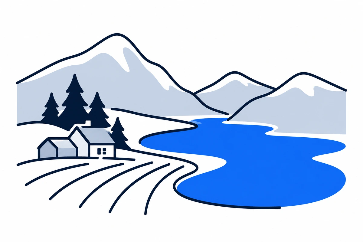
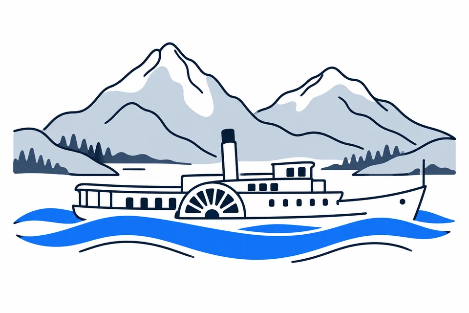
AI-generated illustration: Innlandet (county), Norway
An inland lake, farmland and mountains.Regional illustration
Residents
379,4882026 · SSB
Land area
49,384 km²2026 · SSB
Residents per km² of land
7.72026
Municipalities
4610 Oct 2026

SSB · 2026

The county in numbers

See how many people live in the county, how many homes it has, and which municipalities have the most residents. Figures are from Statistics Norway (SSB).

PopulationLatest available count
379,82730 June 2026
Population change2025–2026
Not available
We can’t calculate the change from the available figures.
Number of homesHouses and flats
205,9742026

Municipalities with the most residents

Ranked by municipal population, rather than the size of cities or urban settlements. A municipality may contain several settlements and extensive rural areas.

  1. RingsakerResidents: 36,199 · 9.5 % of the county’s residents
  2. HamarResidents: 33,817 · 8.9 % of the county’s residents
  3. GjøvikResidents: 31,350 · 8.3 % of the county’s residents
  4. LillehammerResidents: 29,669 · 7.8 % of the county’s residents
  5. ElverumResidents: 21,937 · 5.8 % of the county’s residents

2026 · SSB

The county on the map

Municipalities in the countyInnlandet · 46 municipalities

Choose a municipality to open its profile. Small island municipalities are marked with a dot.

Known for

Innlandet

Jotunheimen’s mountains and Skibladner on Lake Mjøsa

AI-generated illustration: Innlandet. Jotunheimen’s mountains and Skibladner on Lake Mjøsa.

Mjøsa, forests and high mountains

Innlandet stretches from farming districts around Mjøsa to Gudbrandsdalen, Valdres, Østerdalen and western and northern mountain areas. It borders Sweden and has no seacoast. Extensive forests and high mountains produce very different settlement patterns around the Mjøsa towns and valley communities. Hamar, Gjøvik, Lillehammer and Elverum serve different surrounding municipalities; total area alone cannot describe access to services.

Two former counties and older regional identities

Innlandet was created on 1 January 2020 from Hedmark and Oppland, excluding Jevnaker and Lunner, which joined Viken and now belong to Akershus. Older valley and district names continue alongside the new county name. Summer farming, iron production, forestry and agriculture shaped the landscape. The history also includes Southern Sámi communities and Romani/Tater life, beyond the largest farms and towns.

From forest and farmland

Innlandet has Norway’s largest forest area and highest timber production. Dairy farming, potatoes and cereals are important, with local raw materials processed into food and wood products.

Raw materials, industry and tourism

Innlandet has strong farming and forestry industries, processing raw materials into food and wood products. Manufacturing and research create varied jobs around Mjøsa, while mountain areas host tourism and many holiday homes. These activities require different vocational skills and transport. A resource-rich county also needs expertise and local services to retain economic activity and thriving communities.

Town connections and long distances

Innlandstrafikk provides local buses, with information and tickets also covering some connections to Lunner and Jevnaker. The Mjøsa towns and valley districts have different travel patterns. Buses and railways may offer strong main connections, but travel from home to a stop and from a station to the destination also matters. Research the complete journey when choosing education or housing, especially beyond the larger centres.

Universities and knowledge in cultural landscapes

The University of Inland Norway gained university status in November 2024, and NTNU offers education in Gjøvik. Higher education creates several knowledge communities, while heritage records older skills through summer farming, crafts and resource use. Southern Sámi heritage and Romani/Tater history broaden the county’s story. Local museums and historic landscapes teach work, minority histories and social change as well as offering places to visit.

Thriving communities and local differences

Innlandet plans for urban development, dispersed settlement and differing age structures. Distance to school, work and health or care services affects mountain communities differently from places around Mjøsa. Large holiday-home areas may serve far more people than registered population suggests. Municipality profiles provide local figures and reference years, allowing nature, housing and services to be assessed together without treating the county as uniform countryside.

Early electricity-grid planning

The regional electricity-grid planning programme is under consultation until 11 November 2026. Work with Statnett aims to clarify land-use and nature concerns earlier; it does not authorise new power lines.

Places with a story

Landscapes, heritage sites and buildings offer a concrete view of the county’s history. Continue to the guides to these places and their municipalities.
  • Elverum

    Christiansfjeld

    Christiansfjeld is a former fortress within walking distance of central Elverum. Surviving masonry and wooded paths connect its seventeenth-century defensive role with the park and recreation area now used by the town.

  • Hamar

    Domkirkeodden

    Domkirkeodden connects Hamar's medieval city with the shoreline of Mjøsa. Cathedral ruins enclosed by the glass Hamardomen are its best-known image, but the wider archaeological site and museum park preserve a much broader historical landscape.

  • Gjøvik

    Gjøvik gård

    Gjøvik gård preserves a house at the heart of the city's industrial beginnings. Its pale exterior, historic rooms and central park connect the glassworks founder's household with later family life and the growth of Gjøvik around manufacturing.
More attractions in the county

Innlandet · 46 municipalities

All municipalities

Find local figures, history, education, housing and public services. Each municipality’s population figure refers to the stated period.

Residents · Q2 2026 · SSB

What does a county do?

Norway has three elected levels of government: the state, county authorities and municipalities. A county is both a geographical area and the territory of an elected regional authority.

The county authority

Responsibilities include upper secondary education, county roads, public transport, public dental services and regional development. These tasks connect municipalities.

The municipality

Local responsibilities include primary and lower secondary schools, kindergartens, health and care services and land-use planning. Kommuneportal explains these at municipal level.

The state and the County Governor

The County Governor represents the state regionally. This is a separate institution from the elected county authority. Oslo has both municipal and county responsibilities.

Questions and answers

What is Innlandet known for?
Innlandet is Norway’s only county without a coastline. Around Mjøsa, through the valleys and towards the high mountains, farming, forestry, industry and tourism meet, with Hamar, Gjøvik, Lillehammer and Elverum as important centres.
How many municipalities are there in Innlandet?
Innlandet has 46 municipalities in the dated municipal register used on this page. The complete list links to each municipality with local facts, statistics and services.
What is the difference between a county and a municipality?
A county is a regional division that usually contains several municipalities. The county authority is responsible for areas including upper secondary education, county roads, local public transport, public dental services, regional development and culture. Municipalities provide local services close to residents.
How has Innlandet developed as a county?
Innlandet was created on 1 January 2020 from Hedmark and Oppland, excluding Jevnaker and Lunner, which joined Viken and now belong to Akershus. Older valley and district names continue alongside the new county name. Summer farming, iron production, forestry and agriculture shaped the landscape. The history also includes Southern Sámi communities and Romani/Tater life, beyond the largest farms and towns.
How should I read the statistics on this page?
Read the reference period and source alongside each figure. County figures calculated from municipalities require complete coverage and comparable periods. Municipalities and urban settlements are different geographic units, so the list of large municipalities is not a ranking of cities.

SamfunnPrep

Understand Norway. Keep learning.

Practice social studies with questions, clear explanations and mock exams.

Exam centres in Innlandet

Find a place to take the social studies test, with addresses and contact details.

View exam centres
Sources and illustrations

Sources and methodology

Registry date: · Content updated:

A county total is shown only when every municipality has comparable figures from the same source and period. Land area excludes freshwater and sea. Density uses population and land area from the same year.

The same municipality membership is used; changes across a documented geographical break are withheld.

Statistical evidence

Sources and methodology

About the illustrations

AI-generated illustration: Innlandet (county), Norway

An artistic interpretation, not a photograph or an exact record of the place.

Official code
34 · Innlandet
Dimensions and format
1200 × 800 · WebP
Credit
SamfunnPrep · AI-generated illustration
Original image
Open full-size image

Creation and publication dates are not documented.

Downloading, republishing, adapting and commercial use require written permission. Image use and permission

About the place: Innlandet · Original image