NorwayCounty number 39

Vestfold

Vestfold is a county in Norway with 6 municipalities. Vestfold lies along the western Oslofjord, combining coastal towns, farmland and an archipelago used for everyday life and tourism. Viking heritage, maritime industries and modern education provide several historical and economic centres.

Content updated:

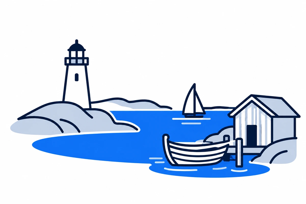
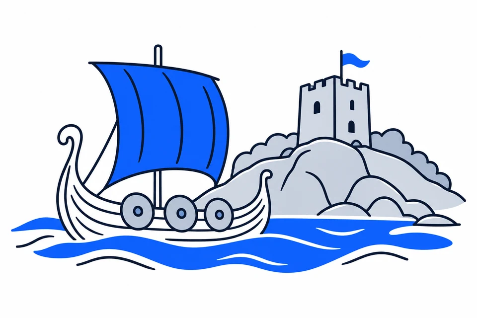
AI-generated illustration: Vestfold (county), Norway
A historic wooden boat, lighthouse and coastal harbour.Regional illustration
Residents
259,3322026 · SSB
Land area
2,092 km²2026 · SSB
Residents per km² of land
1242026
Municipalities
69 Oct 2026

SSB · 2026

The county in numbers

See how many people live in the county, how many homes it has, and which municipalities have the most residents. Figures are from Statistics Norway (SSB).

PopulationLatest available count
259,79330 June 2026
Population change2025–2026
Not available
We can’t calculate the change from the available figures.
Number of homesHouses and flats
123,4362026

The county on the map

Municipalities in the countyVestfold · 6 municipalities

Choose a municipality to open its profile. Small island municipalities are marked with a dot.

Municipalities in the county · VestfoldChoose a municipality to open its profile. Small island municipalities are marked with a dot.LarvikHolmestrandSandefjordTønsbergFærderHortenN
Vestfold
Map data: © Kartverket · CC BY 4.0Generalised coastal map (2024) · About the map dataMunicipal structure checked:

Known for

Vestfold

Viking heritage and the coastal town of Tønsberg

AI-generated illustration: Vestfold. Viking heritage and the coastal town of Tønsberg.

Coastal towns, farmland and islands

Horten, Holmestrand, Tønsberg, Sandefjord and Larvik form a coastal axis, while Færder includes islands and communities outside Tønsberg. Farmland, forests and smaller settlements lie behind the towns. The sea shapes settlement and recreation. The Oslofjord is also a vulnerable ecosystem, requiring coastal planning to balance nature, transport, economic activity and public shoreline access.

From the Viking Age to new county boundaries

The Oseberg burial mound records power, craftsmanship and international connections in the Viking Age. The coast later supported towns, trade and maritime activity. Vestfold and Telemark merged in 2020 and separated on 1 January 2024. Current Vestfold excludes former Svelvik, which joined Drammen in 2020. Historical comparisons must distinguish current boundaries from earlier divisions.

Traces of Viking-age society

The Oseberg ship was buried in Slagendalen in 834 with two women and rich grave goods. The find reveals connections far beyond Vestfold; the women’s identities remain unknown.

Food production and maritime expertise

Vestfold farming produces grain, vegetables and other foods, supported by processing and logistics. Coastal towns host commerce, services and maritime expertise. Tourism and summer visits generate coastal activity, while university technology and maritime programmes connect skills with employment. Limited county area makes the balance between farmland, housing, transport and industry particularly visible.

Travelling along the fjord and to the islands

Vestfold Kollektivtrafikk provides bus and local mobility information. The Oslofjord urban axis connects several municipalities, while islands and summer destinations may require different journeys. Torp Airport lies in Sandefjord municipality. When comparing housing, investigate the complete connection to work or education, as well as distance to the nearest town or airport.

Campus Vestfold and traces in the landscape

USN’s Campus Vestfold is at Bakkenteigen in Horten municipality, offering technology, maritime studies, teaching and health disciplines among others. Oseberg and other heritage sites reveal craftsmanship, power and contacts in earlier societies. Coastal and cultural landscapes can be read as both nature and historical evidence. Municipal membership helps locate relevant information about education and heritage.

Year-round towns and summer visitors

Vestfold’s towns are relatively close together, but housing and services differ between centres, farmland and islands. Coastal visitors and holiday homes increase summer activity without being part of registered population. Population trends and age structures therefore need to be considered alongside local services and seasonal use. Municipality profiles allow comparisons across the six municipalities using consistent evidence.

A new land-use plan in preparation

The proposed Vårt Vestfold – bærekraftig arealplan revises the 2019 land-use policy. Initial political consideration is scheduled for 20 October 2026; consultation depends on that decision.

Places with a story

Landscapes, heritage sites and buildings offer a concrete view of the county’s history. Continue to the guides to these places and their municipalities.

  • Færder

    Færder fyr

    Færder fyr stands on Tristein at the exposed entrance to the Oslofjord. Its tall cast-iron tower is both a working maritime landmark and a visible reminder of the lighthouse service's long connection to the Færder islands.

  • Sandefjord

    Gokstadhaugen

    Gokstadhaugen is the burial mound in Sandefjord where the famous Gokstad ship was excavated. The mound and surrounding landscape bring one of Norway's most important Viking-age discoveries back to its original setting.

  • Larvik

    Herregården

    Herregården is the timber residence of Larvik's counts, now a museum where aristocratic interiors meet the city's later civic history. The house reveals how one building could move from elite household to town hall, school, theatre and heritage site.

More attractions in the county

Vestfold · 6 municipalities

All municipalities

Find local figures, history, education, housing and public services. Each municipality’s population figure refers to the stated period.

What does a county do?

Norway has three elected levels of government: the state, county authorities and municipalities. A county is both a geographical area and the territory of an elected regional authority.

The county authority

Responsibilities include upper secondary education, county roads, public transport, public dental services and regional development. These tasks connect municipalities.

The municipality

Local responsibilities include primary and lower secondary schools, kindergartens, health and care services and land-use planning. Kommuneportal explains these at municipal level.

The state and the County Governor

The County Governor represents the state regionally. This is a separate institution from the elected county authority. Oslo has both municipal and county responsibilities.

Questions and answers

What is Vestfold known for?
Vestfold lies along the western Oslofjord, combining coastal towns, farmland and an archipelago used for everyday life and tourism. Viking heritage, maritime industries and modern education provide several historical and economic centres.
How many municipalities are there in Vestfold?
Vestfold has 6 municipalities in the dated municipal register used on this page. The complete list links to each municipality with local facts, statistics and services.
What is the difference between a county and a municipality?
A county is a regional division that usually contains several municipalities. The county authority is responsible for areas including upper secondary education, county roads, local public transport, public dental services, regional development and culture. Municipalities provide local services close to residents.
How has Vestfold developed as a county?
The Oseberg burial mound records power, craftsmanship and international connections in the Viking Age. The coast later supported towns, trade and maritime activity. Vestfold and Telemark merged in 2020 and separated on 1 January 2024. Current Vestfold excludes former Svelvik, which joined Drammen in 2020. Historical comparisons must distinguish current boundaries from earlier divisions.
How should I read the statistics on this page?
Read the reference period and source alongside each figure. County figures calculated from municipalities require complete coverage and comparable periods. Municipalities and urban settlements are different geographic units, so the list of large municipalities is not a ranking of cities.

SamfunnPrep

Understand Norway. Keep learning.

Practice social studies with questions, clear explanations and mock exams.

Exam centres in Vestfold

Find a place to take the social studies test, with addresses and contact details.

View exam centres
Sources and illustrations

Sources and methodology

Registry date: · Content updated:

A county total is shown only when every municipality has comparable figures from the same source and period. Land area excludes freshwater and sea. Density uses population and land area from the same year.

The same municipality membership is used; changes across a documented geographical break are withheld.

Statistical evidence

Sources and methodology

About the illustrations

AI-generated illustration: Vestfold (county), Norway

An artistic interpretation, not a photograph or an exact record of the place.

Official code
39 · Vestfold
Dimensions and format
1200 × 800 · WebP
Credit
SamfunnPrep · AI-generated illustration
Original image
Open full-size image

Creation and publication dates are not documented.

Downloading, republishing, adapting and commercial use require written permission. Image use and permission

About the place: Vestfold · Original image