NorwayCounty number 33

Buskerud

Buskerud is a county in Norway with 18 municipalities. Buskerud stretches from the Drammensfjord and Lier to Hallingdal, Numedal and the high mountains. Drammen, Kongsberg and Hønefoss connect commerce, technology and transport with farming, forestry and tourism communities.

Content updated:

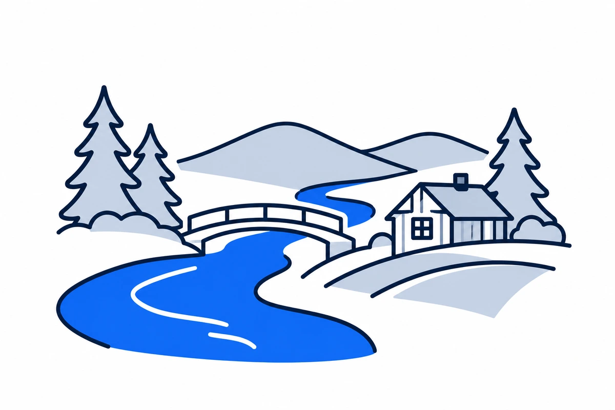
AI-generated illustration: Buskerud (county), Norway
A river and bridge between forested hills.Regional illustration
Residents
272,9812026 · SSB
Land area
13,567 km²2026 · SSB
Residents per km² of land
20.12026
Municipalities
189 Oct 2026

SSB · 2026

The county in numbers

See how many people live in the county, how many homes it has, and which municipalities have the most residents. Figures are from Statistics Norway (SSB).

PopulationLatest available count
273,52430 June 2026
Population change2025–2026
Not available
We can’t calculate the change from the available figures.
Number of homesHouses and flats
132,6452026

The county on the map

Municipalities in the countyBuskerud · 18 municipalities

Choose a municipality to open its profile. Small island municipalities are marked with a dot.

Municipalities in the county · BuskerudChoose a municipality to open its profile. Small island municipalities are marked with a dot.Nore og UvdalHolRingerikeÅlSigdalNesbyenKongsbergHemsedalFlåFlesbergGolModumØvre EikerRollagKrødsheradDrammenLierHoleN
Buskerud
Map data: © Kartverket · CC BY 4.0Generalised coastal map (2024) · About the map dataMunicipal structure checked:

Known for

Buskerud

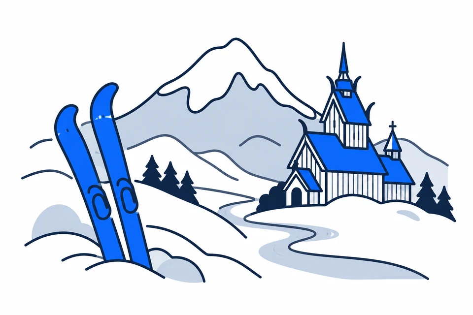
Ski mountains and valley stave churches

AI-generated illustration: Buskerud. Ski mountains and valley stave churches.

From fjord city to mountain valleys

Buskerud transitions from the Drammensfjord and Lier’s farmland to forests, valleys and high mountains. Hallingdal and Numedal have different distances and settlement patterns from the Drammen region. Hønefoss in Ringerike and Kongsberg are important centres with distinct labour markets. The county belongs to the wider capital travel region and opens onto southern Norway’s mountains. Municipality boundaries provide a more precise local picture.

Mining and a county with new boundaries

Kongsberg’s silverworks, established in 1623, show how natural resources created an organised mining society with international expertise. River transport and trade shaped other parts of Buskerud. The county joined Viken in 2020 and became separate again in 2024. Røyken and Hurum joined Asker and now belong to Akershus, while Svelvik joined Drammen. Present Buskerud therefore differs from the county before municipal and regional reform.

Silver and mining expertise

Kongsberg Sølvverk was founded in 1623 and ceased operating in 1958. German miners were central to the mining community; surviving mines and buildings preserve this history.

Technology, farmland and mountain tourism

Buskerud combines Kongsberg’s technology industries with commerce and services around Drammen, farming and forestry, and Hallingdal tourism. County skills work connects education with different regional needs. Industrial communities, farming municipalities and visitor destinations require different expertise. Seasonal activity and holiday homes can also increase service demand without an equivalent increase in registered residents.

Transport hubs and long valley journeys

Brakar provides information about local buses, school transport and demand-responsive journeys in Buskerud. Drammen is an important hub towards Oslo and western destinations, while valley communities have longer distances between homes, schools and services. The Bergen Line connects Hallingdal east and west. For everyday travel, available departures and connections matter more than county boundaries; check the specific journey using current timetables.

From mining museum to campus

The University of South-Eastern Norway has campuses in Drammen, Kongsberg and Hønefoss, providing several educational routes into county employment. The Norwegian Mining Museum explains the silverworks’ technology, organisation and international background; valley heritage offers other perspectives on work and everyday life. Together they show development through local resources and outside knowledge. Municipality profiles connect this history with present settlement and services.

Mountain and urban communities have different needs

The Buskerud plan connects inclusion and economic development with natural and cultural values. These issues mean different things in cities, mountain municipalities and farming communities. Housing, travel time and school or health-service access therefore require local research. Compare municipality profiles within the same reference year, remembering that a municipality may include several settlements and extensive uninhabited land. Municipal figures do not automatically describe the town centre.

An adopted shared direction

Buskerudplanen was adopted on 18 June 2026. It prioritises social inclusion, economic development and adaptation, alongside natural and cultural heritage; Buskerudbarometeret is intended to track progress over time.

Places with a story

Landscapes, heritage sites and buildings offer a concrete view of the county’s history. Continue to the guides to these places and their municipalities.

  • Øvre Eiker

    Fossesholm herregård

    Fossesholm herregård in Øvre Eiker combines timber-trade history with an eighteenth-century manor environment. The preserved buildings explain how wealth from forests, sawmills and export could be expressed through architecture and refined domestic surroundings.

  • Lier

    Heg gjestgiveri

    Heg gjestgiveri at Lier Bygdetun preserves an inn where travel, books and local government once met. The timber building connects the everyday service of a roadside guesthouse with the beginnings of municipal self-government in Lier.

  • Ringerike

    Kjerraten i Åsa

    Kjerraten i Åsa in Ringerike recalls an ambitious system for hauling timber uphill with waterpower. The museum and reconstructed wheelhouse make an early industrial transport solution understandable within the steep landscape it was designed to overcome.
More attractions in the county

Buskerud · 18 municipalities

All municipalities

Find local figures, history, education, housing and public services. Each municipality’s population figure refers to the stated period.

What does a county do?

Norway has three elected levels of government: the state, county authorities and municipalities. A county is both a geographical area and the territory of an elected regional authority.

The county authority

Responsibilities include upper secondary education, county roads, public transport, public dental services and regional development. These tasks connect municipalities.

The municipality

Local responsibilities include primary and lower secondary schools, kindergartens, health and care services and land-use planning. Kommuneportal explains these at municipal level.

The state and the County Governor

The County Governor represents the state regionally. This is a separate institution from the elected county authority. Oslo has both municipal and county responsibilities.

Questions and answers

What is Buskerud known for?
Buskerud stretches from the Drammensfjord and Lier to Hallingdal, Numedal and the high mountains. Drammen, Kongsberg and Hønefoss connect commerce, technology and transport with farming, forestry and tourism communities.
How many municipalities are there in Buskerud?
Buskerud has 18 municipalities in the dated municipal register used on this page. The complete list links to each municipality with local facts, statistics and services.

What is the difference between a county and a municipality?
A county is a regional division that usually contains several municipalities. The county authority is responsible for areas including upper secondary education, county roads, local public transport, public dental services, regional development and culture. Municipalities provide local services close to residents.
How has Buskerud developed as a county?
Kongsberg’s silverworks, established in 1623, show how natural resources created an organised mining society with international expertise. River transport and trade shaped other parts of Buskerud. The county joined Viken in 2020 and became separate again in 2024. Røyken and Hurum joined Asker and now belong to Akershus, while Svelvik joined Drammen. Present Buskerud therefore differs from the county before municipal and regional reform.
How should I read the statistics on this page?
Read the reference period and source alongside each figure. County figures calculated from municipalities require complete coverage and comparable periods. Municipalities and urban settlements are different geographic units, so the list of large municipalities is not a ranking of cities.

SamfunnPrep

Understand Norway. Keep learning.

Practice social studies with questions, clear explanations and mock exams.

Exam centres in Buskerud

Find a place to take the social studies test, with addresses and contact details.

View exam centres
Sources and illustrations

Sources and methodology

Registry date: · Content updated:

A county total is shown only when every municipality has comparable figures from the same source and period. Land area excludes freshwater and sea. Density uses population and land area from the same year.

The same municipality membership is used; changes across a documented geographical break are withheld.

Statistical evidence

Sources and methodology

About the illustrations

AI-generated illustration: Buskerud (county), Norway

An artistic interpretation, not a photograph or an exact record of the place.

Official code
33 · Buskerud
Dimensions and format
1200 × 800 · WebP
Credit
SamfunnPrep · AI-generated illustration
Original image
Open full-size image

Creation and publication dates are not documented.

Downloading, republishing, adapting and commercial use require written permission. Image use and permission

About the place: Buskerud · Original image