Landscapes, population, regions and geographical Norway.
Reading time
≈ 6 min
At a glance
Geography means more than locating Norway on a map. Fjords, mountains, distances and climate affect where people live, work and travel. Learn to distinguish the landscape from administrative boundaries, interpret different population figures and understand Sámi connections across national borders.
The essentials to remember
01
Neighbouring countries
Mainland Norway borders Sweden, Finland and Russia.
02
Landscape and travel
Fjords, mountains and islands affect travel time and transport options.
03
Weather and climate
Climate describes long-term patterns; weather describes current conditions.
04
Municipality and settlement
A municipality is an administrative unit; an urban settlement describes connected development.
05
Sámi identity
The Sámi are an Indigenous people whose historical connections cross state borders.
Understand the topic
01
Locate Norway in Europe
Norway lies in northern Europe and extends a considerable distance from south to north. Its mainland borders Sweden, Finland and Russia.
Oslo is the capital and lies in the southeast. Svalbard is a Norwegian archipelago far north of the mainland.
When reading maps or comparing land-area figures, check which territories are included. Mainland Norway and the kingdom's entire territory describe different geographical areas.
Start with directions and neighbouring places before trying to memorise individual place names.
02
The landscape shapes everyday journeys
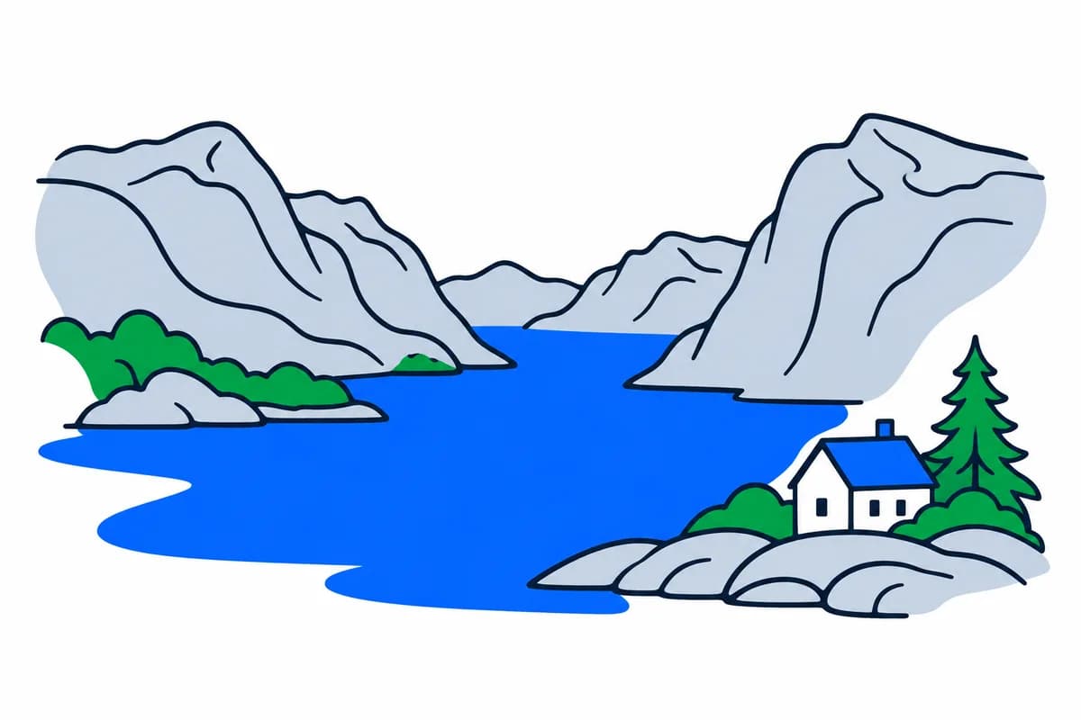
Fjords reach into the coast, mountains separate areas and many islands lie offshore. These features influence the location of roads, tunnels, bridges and ferries.
Places that look close together on a map can involve a lengthy journey around a fjord or across a mountain. The landscape also provides resources for fishing, forestry, agriculture and power generation.
When considering where to live, practical connections to work and services often tell you more than the distance in a straight line.
03
Coast, inland areas and the seasons
Climate varies with latitude, altitude and distance from the sea. Coastal winters are often milder than inland winters, while mountains and northern areas can differ considerably from southern lowlands.
Daylight changes through the year, particularly far north. Weather means conditions such as wind, temperature and precipitation at a particular time; climate describes patterns over many years.
A cold day therefore does not disprove long-term warming. For a particular journey, check the local forecast as well as understanding the region's climate.
04
Municipalities and settlements are different areas
Counties and municipalities are geographical areas with administrative boundaries. An urban settlement, or tettsted, is instead an area Statistics Norway defines through population and connected development.
One settlement can cross municipal boundaries, while a municipality can contain several settlements and substantial undeveloped land. Two accurate population figures for the same place name can therefore describe different areas.
Check the date and definition before comparing them. Kartverket provides administrative divisions; Statistics Norway publishes information about settlement and population.
A landsdel is a broad geographical region, not an additional level of government. A common division is Northern Norway, Trøndelag, Western Norway, Eastern Norway and Southern Norway. A place can therefore belong to a region, county, municipality and urban settlement at the same time. When applying for a public service, find the responsible authority rather than only the region’s name.
05
Sámi connections extend across borders
The Sámi are an Indigenous people with historical connections to areas now within Norway, Sweden, Finland and Russia. There are several Sámi languages and varied cultural traditions.
Sámi people live in cities as well as smaller communities; Sámi identity cannot be reduced to one occupation or lifestyle. Norway's Sámi Parliament is an elected institution working on Sámi rights, languages, culture and social life.
Geography therefore also concerns people's connections to places, rather than state boundaries alone.
Indigenous peoples and national minorities are different designations. Alongside the Sámi’s Indigenous status, Norway recognises five national minorities: Jews, Kvens/Norwegian Finns, Forest Finns, Roma and Romani people/Taters. Roma and Romani people/Taters are two different groups. These designations concern historical ties and rights; they do not tell us where each individual lives or how they live.
Useful distinctions
Municipality and urban settlement
A kommune has an administrative boundary. A tettsted is defined by buildings and population, independently of municipal boundaries.
County and municipality
Fylke and kommune are different administrative divisions. A county name and a municipal name do not necessarily describe the same area.
From learning to everyday life
Think through an example
Two population figures for one place name
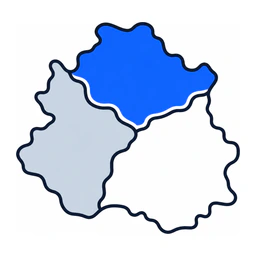
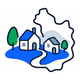
You are considering moving. A municipal website and a table of urban settlements show different population figures under the same place name.
Municipality AMunicipality B
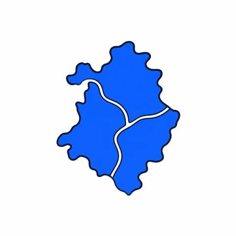
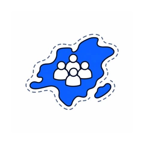
Simplified example: the blue urban settlement crosses the boundary between municipalities A and B. The whole settlement and each municipality therefore do not count the same population.
Must one of the sources be wrong?
Explanation
No. The municipality and the settlement may cover different areas. Check each figure's geographical definition and reference date before comparing them. Separately investigate the actual journey from the home you are considering to work or school.
A county: a regional administrative area in Norway.
Kommune
A municipality with elected local government and responsibility for public services.
Tettsted
A continuously built-up settlement defined statistically, independently of municipal boundaries.
Kyst
The coast, where land meets the sea.
Innland
Inland areas away from the coast.
Landsdel
A large geographical region of Norway, such as Western or Northern Norway. It can include several counties and is not a separate administrative level.
Fjord
A long, narrow inlet extending inland, often bordered by steep mountainsides. Many Norwegian fjords were shaped by glaciers.
Klima
The typical weather and its variations in an area over a long period, rather than the weather on a single day.
Midnattssol
A natural phenomenon where the sun stays above the horizon at night, experienced in parts of Northern Norway during summer.
Urfolk
Peoples with historical ties to an area predating today’s state borders and with distinct cultural traditions. The Sámi are an Indigenous people in Norway.
Mørketid
A winter period when the sun does not rise above the horizon. It occurs in northern Norway and does not mean complete darkness all day.
Befolkningstetthet
The number of residents per unit of area, usually per square kilometre. It shows how densely an area is populated.
Sample questions, explained
Explore two questions about this topic, with correct answers and explanations.
Example 01How is Norway administratively divided?
Correct answer
Into counties (regions) and municipalities, with three levels of administration: state, county municipality, and municipality
Explanation
Norway has three levels of government: national, county and municipal. Municipalities are responsible for primary and lower secondary schools and municipal health and care services, among other tasks. Counties are responsible for upper secondary education, regional public transport and county roads. Not all healthcare or transport is a municipal or county responsibility.
Example 02Which statement about settlement patterns in Norway is CORRECT?
Correct answer
Around four out of five inhabitants live in cities and urban settlements
Explanation
Statistics Norway reports that more than 80 per cent of the population lives in urban settlements. A tettsted is a continuously built-up area, not a unit of government, and may cross municipal boundaries. It describes where people live rather than how the country is administered.
How to prepare
An urban settlement crosses a municipal boundary. Explain how two different population figures can both be correct. Distinguish region, county, municipality and urban settlement, and explain why a short straight-line distance may mean a long journey. Finally, explain why Sámi belonging does not follow one national border or one particular way of life.
Edited examples from SamfunnPrep’s question bank, not official HK-dir test questions.
Questions and answers
Can two different population figures for the same place name both be correct?
Yes. A municipality has administrative boundaries, while an urban settlement is defined by population and connected development. A settlement can cross municipal boundaries, and one municipality can contain several settlements. The figures may therefore describe different areas. Check both the geographical definition and reference date before comparing them.
Why does map distance not tell me how long a journey takes?
Fjords, mountains and islands affect where roads, tunnels, bridges and ferries run. A short straight-line distance may therefore involve a long trip around a fjord or across a mountain. Investigate the actual connection to work or school, and check local weather before a particular journey.
Your next step
3 days free
Turn what you know into confident answers.
Put this topic into practice, learn from mistakes and see what you have mastered. One question at a time.
20 practice questions in your trial. The full practice bank is available in Norwegian and English.
Focused practice
Questions that help you use what you have learned.
Clear explanations
Understand why an answer is right.
Your progress
See your results and what to revisit.
Where would you like to go next?
Explore a connected topic
Natural resources connect geography with sustainability; settlement and minorities connect it with history; municipal and county boundaries connect it with democratic responsibility.


 Think through an example