
Places with a story
Meridianstøtten
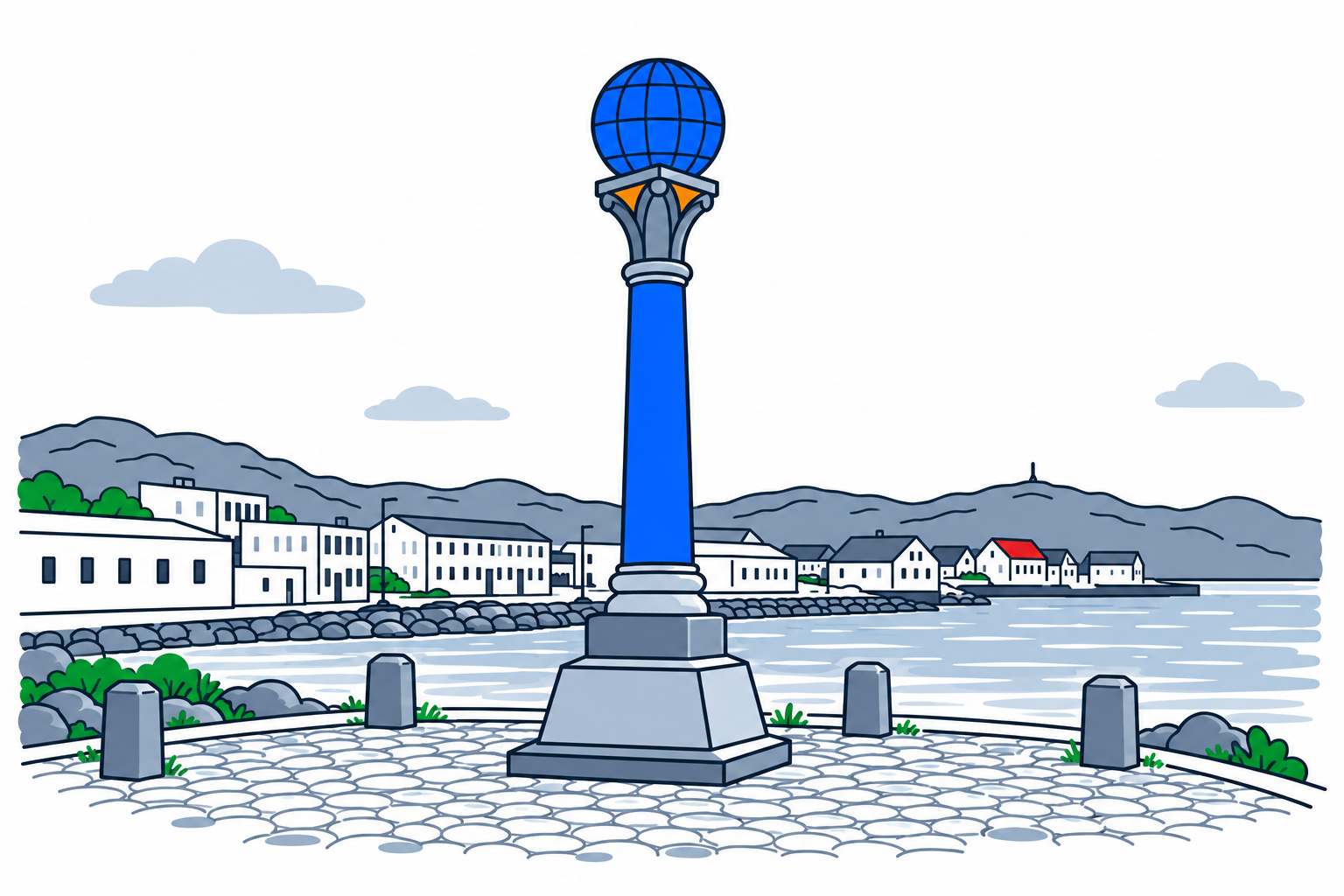
Meridianstøtten at Fuglenes marks the northern end of the Struve Geodetic Arc. The column in Hammerfest connects a small coastal observation point with an international effort to measure the Earth's size and shape.
The place12
The monument represents the northernmost survey point and one of the places where astronomers made observations. The wider arc stretches from Hammerfest towards the Black Sea. Measuring linked triangles across a long north–south distance allowed scientists to relate positions on the ground to the curvature of the Earth, supporting more accurate maps.
History and local connections123
UNESCO describes the international survey as work carried out between 1816 and 1855. Fuglenes was selected because its landscape and connections with nearby survey points suited precise observations. The commemorative column, designed by Wilhelm von Hanno, was erected in 1854. The Struve Geodetic Arc entered the World Heritage List in 2005.
What to look for13
The globe above the column expresses the purpose of the survey. Look from the monument towards the wider coastal landscape: nearby points such as Håja, Tyven and Seilandstuva formed part of its scientific context. The site helps explain that the World Heritage property preserves measurement stations, not one continuous built structure stretching across Europe.
Planning a visit1
The local World Heritage centre publishes the history of Fuglenes and the Norwegian survey points. Use its information when planning a visit or combining the monument with further learning in Hammerfest. This is an outdoor coastal location; prepare for weather and follow local signs. Access arrangements for organised activities should be confirmed with the centre.
Sources
Last checked:
More places in Finnmark


SamfunnPrep
Discover Norway. Prepare for the test.
Practice questions, clear explanations and mock exams.