
Places with a story
Sosteli
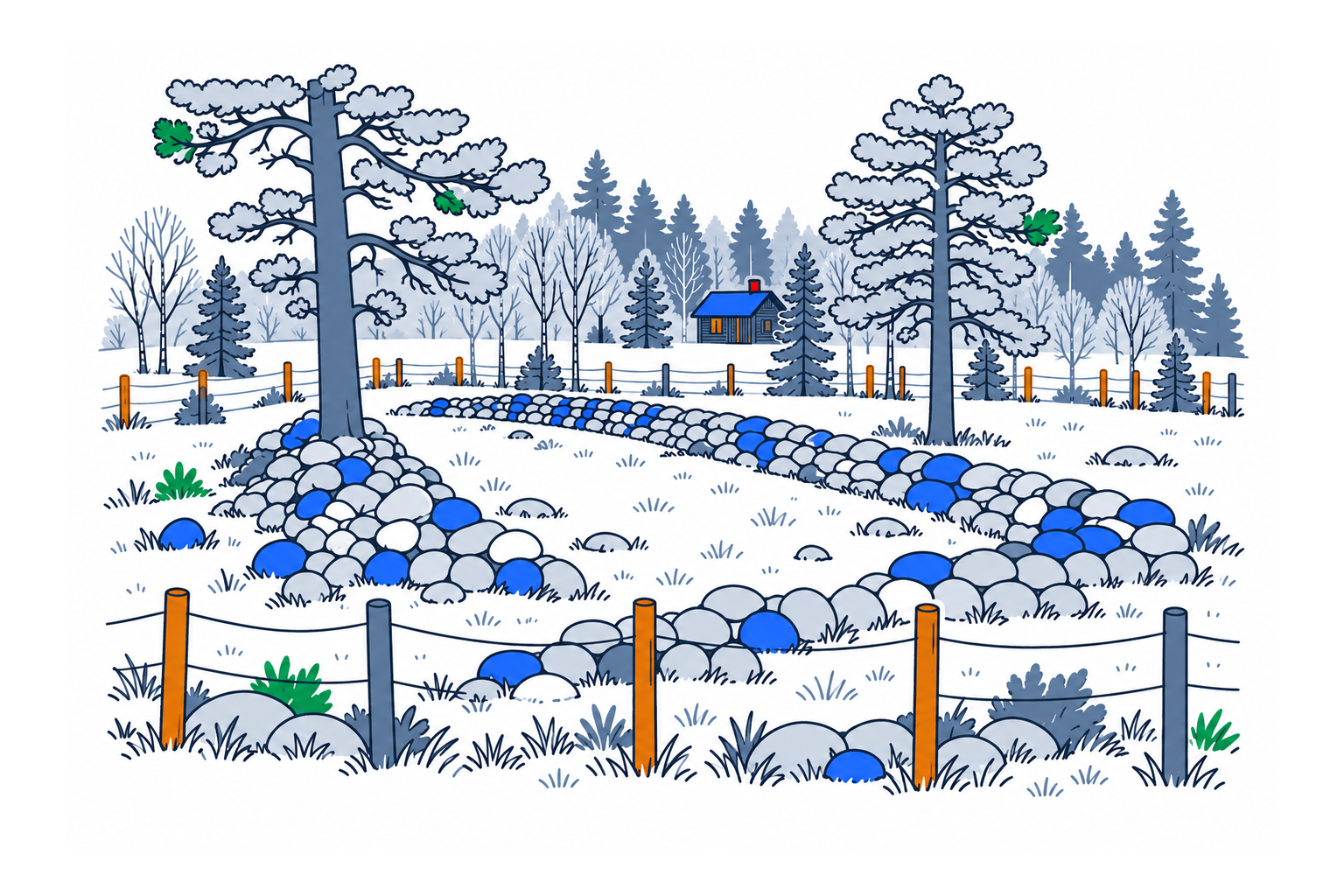
Sosteli in Åseral is an abandoned farm landscape where house foundations, fields and stone boundaries preserve evidence of early settlement. Its value lies in seeing buildings and cultivated ground together, making the lives of Iron Age farmers more tangible than isolated objects could.

The place2
The surviving remains include several house sites, fields, boundary systems and burial monuments. One house foundation is approximately forty-five metres long. Archaeological interpretation identifies parallel longhouses and a separate workshop or smithy, allowing the layout to be considered as an organised farm rather than a scattering of stones.
History and local connections2
Anders Hagen investigated the place from 1947 to 1949. Later radiocarbon dating extended the settlement history beyond his original interpretation, indicating activity from around the beginning of the Common Era into later Iron Age phases. The differing estimates show why precise abandonment dates should be treated cautiously instead of presenting one uninterrupted timeline as settled fact.
What to look for12
Look at the relationship between the long house sites, cleared fields and enclosing stones. Municipal interpretation also connects farming with iron production and trapping. The low ground shapes require patient observation; understanding where people lived, worked and cultivated helps reveal a landscape that initially appears simply rural and quiet.
Planning a visit1
The municipality provides a signed approach from Kyrkjebygd along Sostelivegen and links to a video guide. Consult that guidance and the local tourist information for current conditions. Follow established routes, avoid disturbing stonework and allow for an outdoor archaeological visit whose visible remains are foundations rather than reconstructed buildings.
Sources
Last checked:
More places in Agder


SamfunnPrep
Discover Norway. Prepare for the test.
Practice questions, clear explanations and mock exams.