
Places with a story
Havråtunet
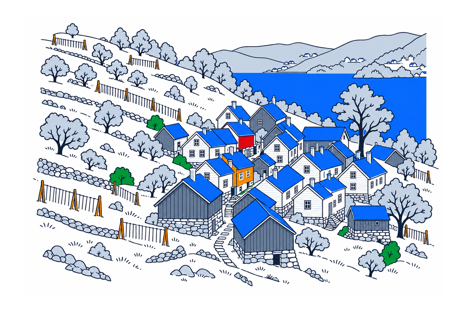
Havråtunet is a cluster of farm buildings within a remarkably complete agricultural landscape on Osterøy. Houses, field boundaries, livestock routes and traditional work show how several holdings shared a steep fjord-side environment before modern farming reshaped many comparable places.
The place2
The agricultural authority describes thirty buildings belonging to eight holdings, arranged within a landscape stretching from the shore into the hillside. Narrow field divisions, drainage channels, paths and livestock routes remain in their earlier form. These relationships matter as much as individual houses: they explain how cultivation, movement and shared space fitted together.
History and local connections2
Cultivation began towards the end of the Stone Age, with further traces from the Bronze Age and abandoned farm sites. Havrå became Norway's first protected cultural environment in 1998. Protection therefore covers a connected place with buildings and landscape, recognising evidence of agriculture and living conditions rather than preserving one isolated monument.
What to look for2
Museumssenteret i Hordaland owns three of the holdings and continues traditional farming techniques using local tools. Hayfields, grazing woodland and old trees form a varied working landscape. During a guided visit, look for the division of land between farms and the practical routes connecting buildings with fields; these details make the organisation of the cluster understandable.
Planning a visit1
The museum provides guided visits with booking information on its Havrå page. Check current tour dates and arrange an alternative visit where offered. Follow the guide's directions around private holdings and active farm areas; access to the protected environment does not mean that every building or cultivated plot can be entered freely.
Sources
Last checked:
More places in Vestland


SamfunnPrep
Discover Norway. Prepare for the test.
Practice questions, clear explanations and mock exams.