
Places with a story
Tronåsen
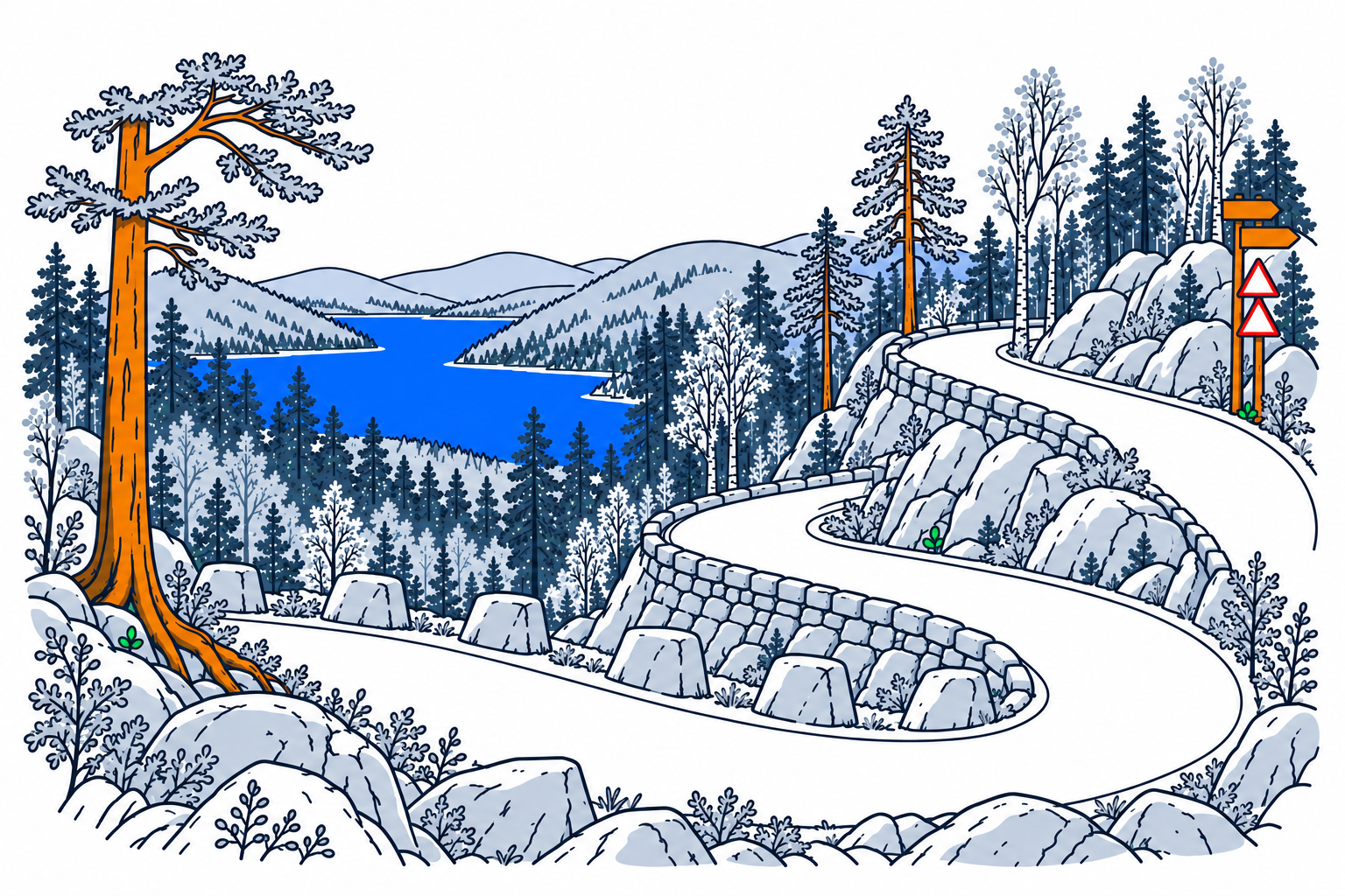
Tronåsen is a historic road across the boundary between Rogaland and Agder, with its western approach in Lund. Tight bends and steep slopes preserve the experience of a route designed long before modern motorways.
The place1
The road formed part of Den Vestlandske hovedveg and was completed in 1844. It was designed for horse transport, yet the gradients made even light vehicles demanding to haul. Its surviving alignment makes the constraints of nineteenth-century travel visible in the hillside itself.
History and local connections1
Early motorists inherited a road whose curves and slopes had not been designed around cars or buses. The official destination account describes difficult climbs, overheating engines and awkward bus turns. Tronåsen remained the main road until 1945, when through traffic was transferred to a replacement route.
What to look for1
The attraction is the winding road and its landscape, including the summit view towards Lundevatnet. Information areas help explain the old transport system. Nearby nineteenth-century bridges belong to the same wider road history, but the climb across Tronåsen is a distinct experience with its own engineering challenges.
Planning a visit1
The destination's published guidance describes seasonal access and one-way driving from Tronevik for cars and minibuses. Check current road signs and local visitor information before setting out, especially outside the summer period. Do not assume the historic road offers the width, turning space or vehicle capacity of a modern main road.
Sources
Last checked:
More places in Rogaland


SamfunnPrep
Discover Norway. Prepare for the test.
Practice questions, clear explanations and mock exams.