
Places with a story
Sortlandsbrua
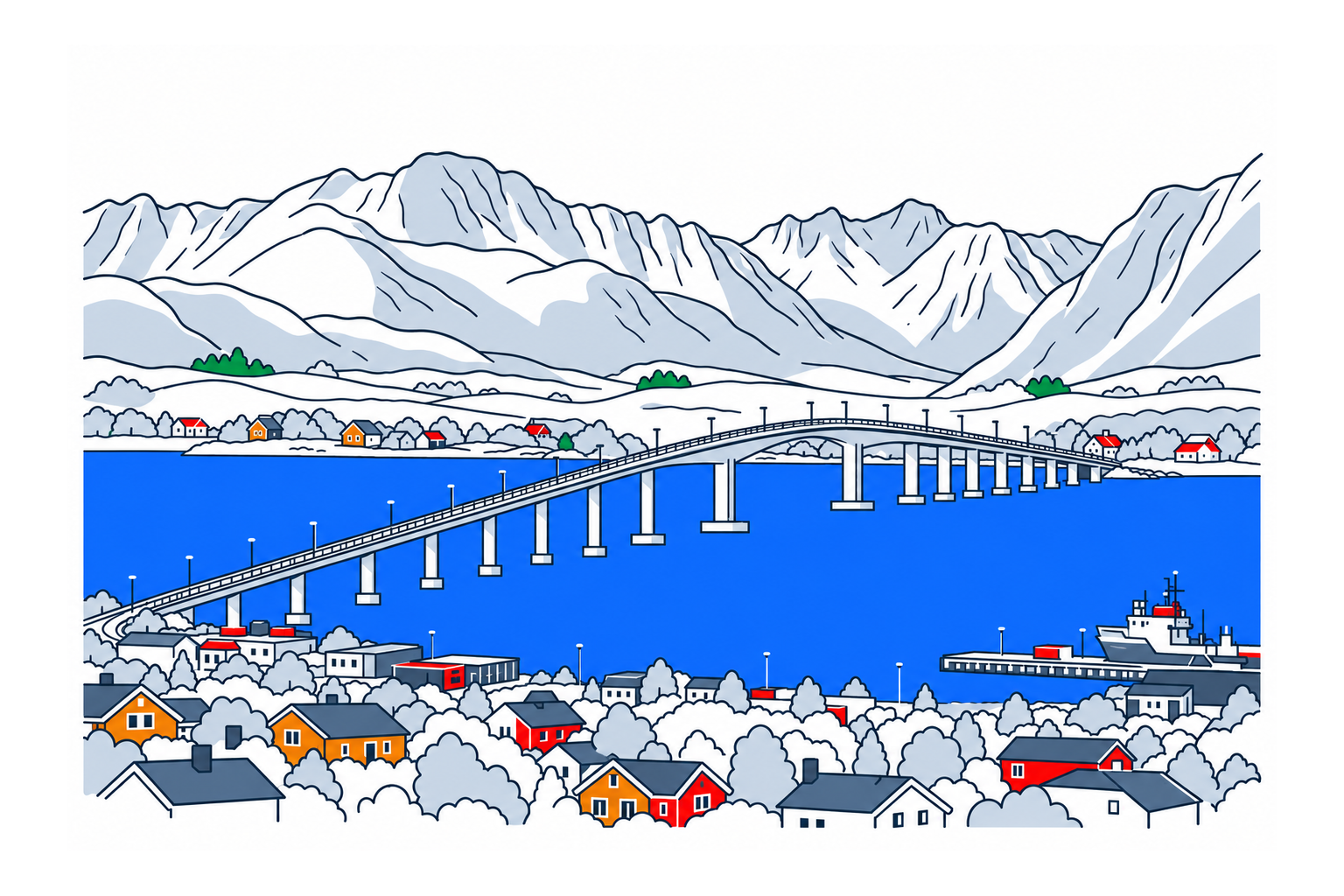
Sortlandsbrua connects Langøya and Hinnøya across Sortlandssundet. Its long concrete form is both a working transport link and a town landmark, with a history that includes the transformation of regional journeys and a recent approach to lighting the structure.
The place1
The bridge carries national road 85 and gives Sortland a ferry-free connection towards the mainland. It is a concrete box-girder bridge, 948 metres long, with a longest span of 150 metres. The sequence of main and side spans makes its structure readable from the shore and surrounding townscape.
History and local connections1
Sortlandsbrua opened to traffic on 4 July 1975. Besides connecting the two shores of the strait, the bridge links island roads with the wider transport network. Its everyday transport function is part of its importance as a landmark, together with the visual impression of the long bridge roadway above the waters of Sortlandssundet.
What to look for2
In 2024, Statens vegvesen described a lighting renewal designed by Zenisk. The planned LED system aimed to reduce glare and light spilling towards the sea and sky, while accent lighting could reveal spans and columns. This account explains the design intentions; it does not establish a permanent nightly colour programme or today’s traffic restrictions.
Planning a visit12
Choose a suitable public shoreline viewpoint if you want to study or photograph the bridge’s whole form. It remains an active road, and bridge maintenance can affect both vehicles and pedestrians. Check current road information before planning a crossing on foot. The 2024 construction notice is useful history, not a current travel advisory.
Sources
Last checked:
More places in Nordland


SamfunnPrep
Discover Norway. Prepare for the test.
Practice questions, clear explanations and mock exams.